



Map
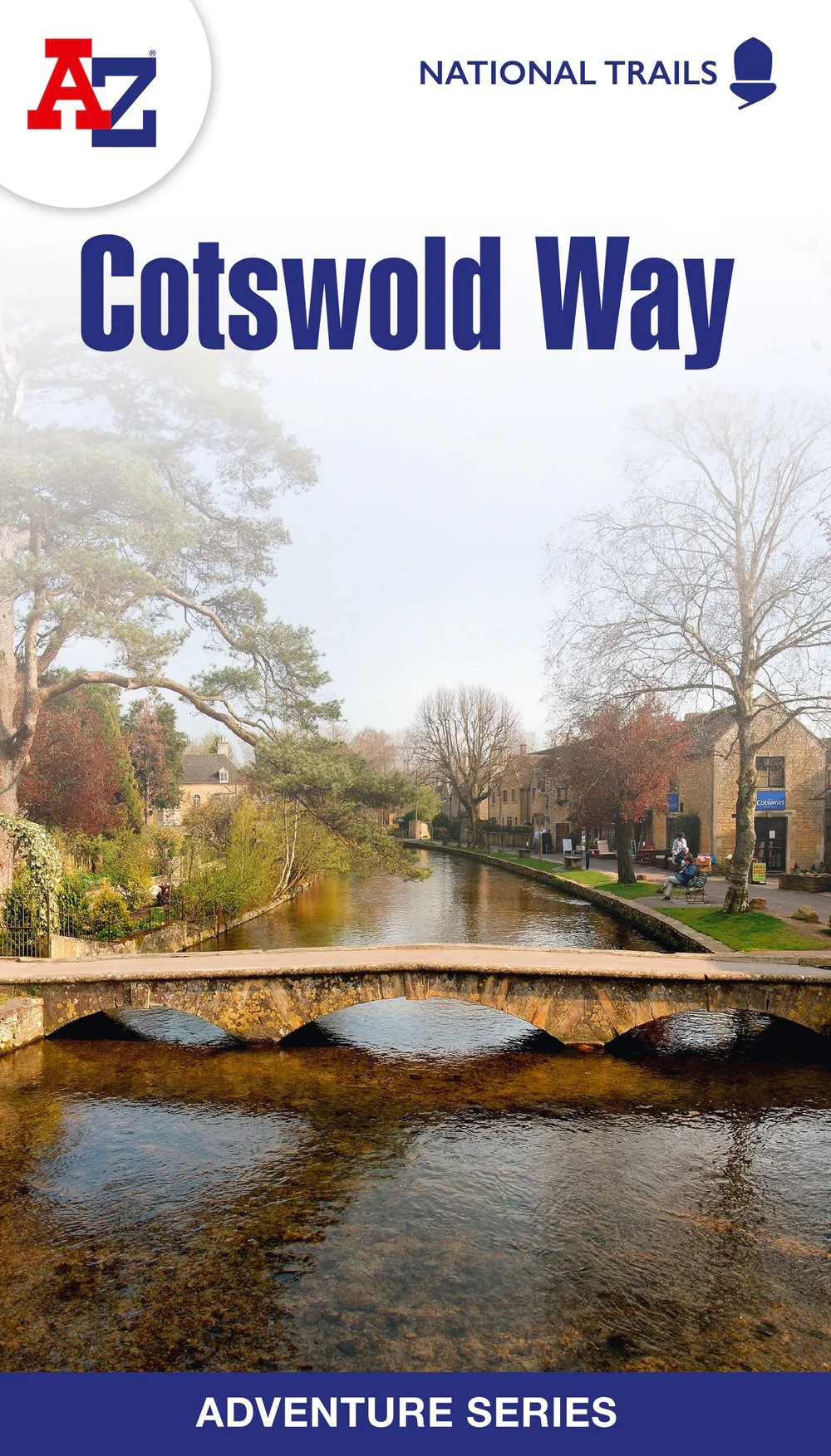
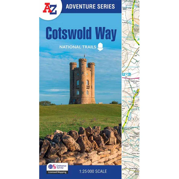
A-Z Cotswold Way
5 in stock (can be backordered)
- From the Information Centre on the High Street, Chipping Campden
- Sent from Campden. UK postage from £3.50, worked out by weight at the checkout. Overseas, we will be in touch with the cost before we post.
- Every sale helps keep the centre open
The detail
About this map
National Trail Adventure Series. Scale 1:25 000 . New 3rd edition
he perfect companion for walkers, off-road cyclists, and anyone wishing to explore the great outdoors.The Cotswold Way is a 102 mile (164 km) National Trail running along the Cotswold Hills. Starting in the historic City of Bath and finishing in Chipping Campden, the clearly marked route passes through numerous places of interest and an abundance of wildlife.
Mile one
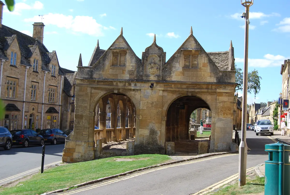
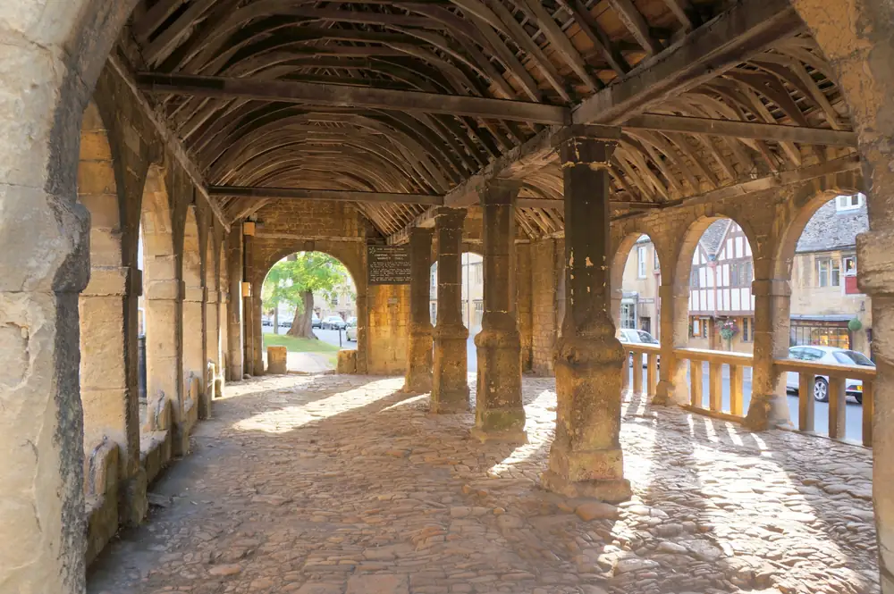
The Cotswold Way starts at the Market Hall
Built in 1627 for the town's traders, the Market Hall is where the 102 miles to Bath begin, a minute's walk from the Information Centre. Call in before you set off for maps and advice from people who know the path.
From the same shelf
You might also like


More from the shop
Keep browsing
Run by the community
Help keep the Information Centre open
The centre has no regular funding from the town, the district or the government. Grants have to be won every year, so every sale here, and every donation, keeps the door open for visitors and locals alike.
From the Information Centre
The Old Police Station, High Street, Chipping Campden
Sent from Campden
UK postage from £3.50, worked out by weight at the checkout. Overseas, we will be in touch with the cost before we post.
Secure checkout
Card payments are taken securely by Square. Your card details never touch this website.
Questions?
Ring the centre on 01386 841206